D
ownpours and thunderstorms have brought travel disruption to parts of the UK as the country’s dismal summer weather continues.
Forecasters at the Met Office have issued yellow weather warnings covering parts of Scotland, Northern Ireland and London and southern England, advising that heavy showers and thunderstorms could trigger flooding and travel disruption.
On Twitter, the national weather service said thunderstorms had brought torrential rain and lightning to the north and northeast of the Glasgow area in Scotland on Monday afternoon.
National Rail Scotland said “significant downpours” had led to the line between Dalmuir and Hyndland via Yoker being closed.
Thundery showers also brought torrential rain to Edinburgh and parts of the Lothians, with ScotRail warning of cancellations between Milngavie and Edinburgh via Airdrie and Bathgate due to flooding.
READ MORE
Local residents shared footage on Twitter of flooded streets in Glasgow and Edinburgh.
Heavy rain broke out across Northern Ireland, with motorists urged to take care on the roads due to standing water and spray.
In England, rail operator Greater Anglia said lines between Bishops Stortford in Hertfordshire and Stansted Mountfitchet in Essex were blocked due to flooding.
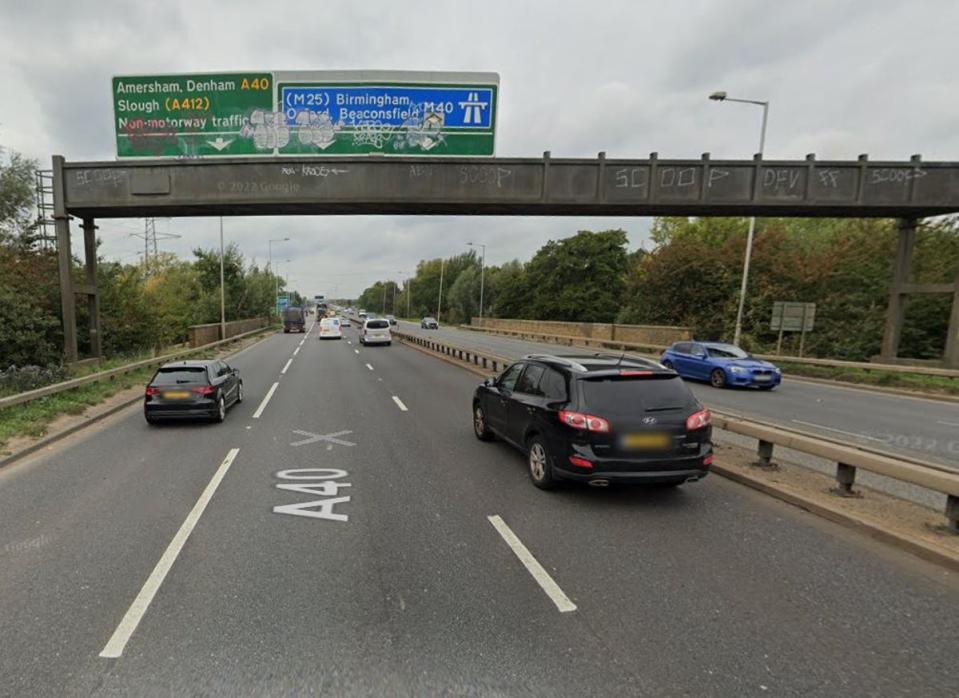
Footage taken in Greenford, west London, on Monday afternoon showed cars ploughing through a flooded street, with one motorist appearing to push his vehicle through knee high water.
In east London, Barking and Dagenham Council advised people on Twitter that the Mayesbrook Covid-19 test centre was closed due to flooding.
West Sussex Fire and Rescue Service urged the public not be tempted to swim in open water after a group of young people were rescued from fast-flowing water near Lindfield.
It said the incident “could so easily have ended in tragedy”, adding: “The heavy recent rain has swollen river levels and rapidly increased the speed of the water, making it impossible to safely swim, even in rivers people are familiar with.”
Earlier, Met Office spokesman Oli Claydon described the thunderstorms as “quite variable” and added: “Not everywhere within those warning areas will see those heavy thundery downpours.
“Where the thunderstorms do fall the rain could be quite intense and quite heavy.”
Thundery downpours could see parts of England facing 10-20mm rain in a short space of time or 20-40mm over two or three hours in a few places.
The showers will die out during the evening.
The warning covering the east of England, London and south east England plus south west England lasts to 9pm.
Parts of Scotland could see 15-30mm of rainfall in a short space of time or perhaps with 50-70mm over several hours, according to the Met Office.
The warning covering Central, Tayside and Fife, Grampian, South West Scotland, Lothian Borders and Strathclyde runs to 11pm.
In Northern Ireland the thunderstorms weather warning runs to 9pm.
The Met Office said: “Some places will miss these, but where they do occur, 10-20mm rain may fall in a short space of time, perhaps with 30-50 mm over several hours in a few places where successive showers occur.
“Some of these showers may also be thundery.
“The showers will fade away during the evening.”
People with riverside properties in Buxted and on Hempstead Lane have been urged to try and protect their homes after a flood warning was issued for the River Uck, East Sussex.
England flood authorities described the river as “high and rising” and said it may remain higher than normal until Monday evening.
It comes after a weekend of downpours in which the worst washouts were in northern England and southern Scotland.
Meteorologist Craig Snell said: “For a lot of the UK (Monday) will be like what we have seen over the weekend, plenty of showers around and some of those showers will be heavy.”
Mr Claydon said that temperatures in the south east are around an average for the time of year at about 22C and there may be the chance it could reach 25C on Thursday.
He added that a brief ridge of higher pressure on Tuesday is set to bring settled conditions across the UK before low pressure is back in charge on Wednesday with a front that moves from west to east and brings rainfall for much of the country.
Mr Claydon said that people can then expect “heavy blustery showers for the northern half of the UK with a greater chance of it remaining dry in the south and east”.
https://www.standard.co.uk/news/uk/met-office-london-oli-claydon-northern-ireland-scotrail-b949894.html


